Monday, June 30, 2014

St. Mary's Wilderness

I had done hike to St. Mary's Wilderness on 29th June 2014 . It is located in Virginia State at Blue Ridge Parkway.
Hike Location
Name: St. Mary's Wilderness
Distance: 94 miles from Richmond(approx)
Total hiking distance: 10.1 miles.
Altitude: 3200 ft.
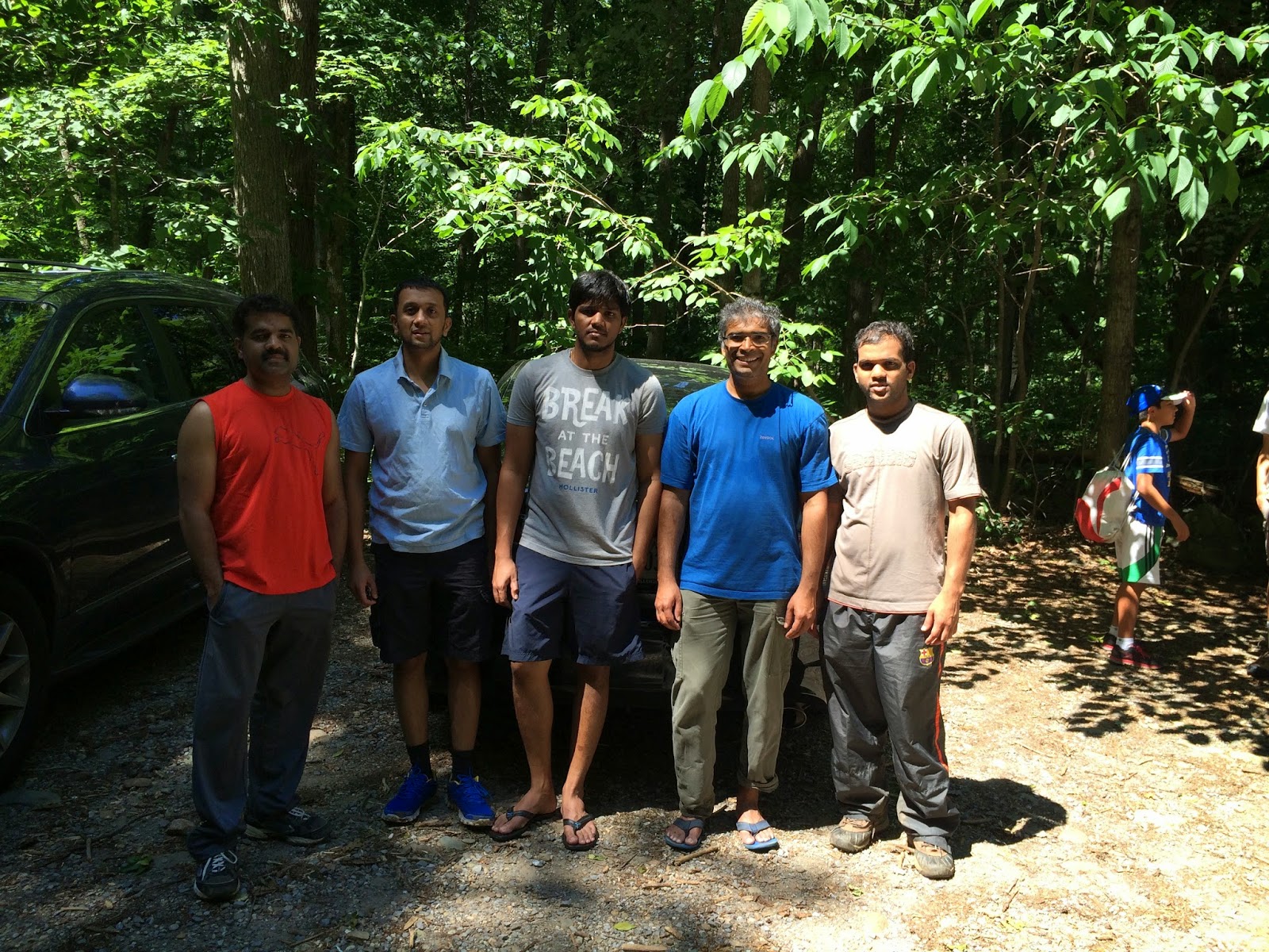
Hike Team: Sujay and me
Hiking Experience:Started around 6:39 am from Honey Tree and reached Sujay's place by 6:52 am. Started to Hike location around 7:00 am.  Reached the parking location by 8:47 am. There were few cars already in the parking lot. Had our breakfast and started for the hike around 9:07 am.The start of the trail is a narrow path along the side of the Kiosk board. The trail was covered by trees on both sides and there were no markings on the trail. First time have seen a trail in us without any markings. After walking for few yards we reached the intersection of Bald Mountain and Mine Bank Creek trail, where we took left and started walking on Mine Bank Creek Trail. The trail lead us deep into the jungle and it was steep down. It was leading us to the valley of the hill through the middle of the jungle. It was dense forest with lot of trees. The climate was good all through the day with continuous breeze throughout the hike.we crossed the small river streams while going through the narrow trail. There were invisible small thin spider web  along the path initially. The path is covered by leaves making the surface smoother. Slowly as we approached valley, the path is full of stones making it hard to descend further into the valley. We reached the St. Mary River Trail. Took a right onto the trail and started towards the green pond. Another half an hour or so the trail still steeped down. We reached a campsite at the valley.
                       
 To the right side we saw a small narrow trail which is very steep upward. we hiked the path and continue on the trail to green pond. The slope of the trail increased gradually. The trail is full of stones on it and covered by trees. While walking along the trail, it became sunny and temperature around us started heating up. We have couple of diversions on the trail which might lead us to different trail or path. we stick to the map we have and followed as per it.After hiking for around 1.2 miles we reached the forest road(mud road) which is broader road and used by 4*4 vehicles ad mud bikes as well. We were not able to see the green pong as it was small and not along the trail path. It was pretty boring walk on the forest road. we have stopped on the mud road for lunch around 11:55 am. Had proper lunch and started again by 12:20 pm. There were so many turns initially on the mud road but as we moved ahead it was a pretty straight boring walk with few campsites being sighted on either side of the path. After walking overall distance of 1.9 miles on the mud road, to the right there was a small narrow trail. It was Bald Mountain trail. The trail again lead us deep into the jungle and it was very steep descent. The trail was very narrow and most of the path was covered by small plants and bushes. We could not see the trail ahead due to these thorny bushes.
                        We reached the valley of the mountain after many twists and turns across the trail. After crossing the valley stream the trail started going upward towards the top of the hill. We followed the trail, it was not at all well maintained. There were so many hurdles along the trail and many trees obstructed the path. There was valley on one side and trees on other side of the trail. We continued hiking along the steep path until we finally reached the intersection where took left in the beginning. we came from the left side of the trail and headed towards parking. We reached the parking lot by 2:09 am. We completed the entire loop within 5 hours. Overall it was a great different hiking experience. There were many times where we looked for directions in the map to ensure we were on the right track as the trail was not blazed. We left the parking and reached home around 4:11 pm. All is Well.
                                     

Monday, June 23, 2014

Nicholson Hollow

I had done hike to Nicholson Hollow  on 21st June 2014 . It is located in Virginia State in Shenandoah National Park.
Hike Location
Name: Nicholson Hollow
Distance: 94 miles from Richmond(approx)
Total hiking distance: 10 miles(approx).
Altitude: 1240 ft.
Hike Team: Ameya, Amit, Arjun, Bahubali, Hemant, Rajesh, Ravi, Rohit, Vaibhav and me
Hiking Experience:Started around 7:45 am from Honey Tree in two cars. Picked up 10th person from nearby place and started to hike location around 8:00 am. Reached the parking location around 9:38 am. Had breakfast at the parking and started for hike around 10 am. It was cloudy climate with cool breeze without any rain. Ten of us set out for the hike. From the parking we walked on the Nethers Road(tar road) for about 0.5 miles to reach the start point of the Nicholson Hollow trail towards the right.the trail was wide covered by trees on both the sides. We crossed Hughes river stream twice within 0.4 miles from the start of the trail. The slope of the trail increased as we went ahead. The trail went along the side of the river. It was a wonderful scenery with cloudy climate green trees and plans and river passing by. The trail narrowed as the steep increased further. The trail has rock steps which were shattered making the steps as small rock patches. Path was little wet due to rains of the previous night. After hiking for 3.4 miles we reached Corb Cabin around 12:00 noon. As per our initial plan we reached the end point of our destination and supposed to return. The team was enthusiastic and wanted to hike more. We took Indian Run trail from Corb cabin an hiked further. It was a very steep trail for about 1.5 miles. The trail is covered with huge trees on both sides and no river on either side. We reached the Corbin Mountain trail around 1:04 pm.
                                                We had delicious lunch(home made) at the intersection and started again around 1:30 pm. The trail was steep down the hill. Path was fully covered with small plants and it was traversing deep through the jungle. The trail has many turns, wooden steps. It started drizzling while descending the hill. We saw little sunshine through the gaps in the trees. It was very good climate with watery plants along the sides of the trail. There trail was covered with fog. It was like we are amidst clouds. We came across the river stream around 3:12 pm. We refreshed ourselves at the stream. The water was cold. The trail lead us to the Nicholson Hollow trail again and from there we reached the start point of the trail by 3:50 pm. We done a complete loop. The total descent was about 4.2 miles. We reached the parking through the tar road around 4:00 pm. Left from parking and reached home around 5:42 pm. All is well.
                       

Monday, June 16, 2014

White Oak Canyon

I had done hike to White Oak Canyon  on 14th June 2014 . It is located in Virginia State in Shenandoah National Park.
Hike Location
Name: White Oak Canyon
Distance: 90 miles from Richmond(approx)
Total hiking distance: 8 miles.
Altitude: 2450 ft.
Hike Team: Arjun, Gnaneshwar, Rajesh, Sujay and me
Hiking Experience: Started around 6:40 am from Honey Tree and reached Sujay's place by 7:00 am. Started to Hike location in his car around 7:30 am.  While finding the exact parking location, we found a small bear to the right-side of the road. Reached the parking of White Oak canyon which on the left side of the road by 9:10 am. So many cars already were at the parking. Had breakfast at parking and then started for hike around 9:27 am. Initially it was a narrow trail and we crossed a steel foot bridge over the water stream. Most part of the trail was along the water stream. The trail has blue marks for tracking. The path was deep inside the forest and fully covered  with trees preventing us from scorching heat. The temperature was so high but there was cool breeze as we were surrounded by trees. The trail is very steep and has many turns along the way. There were steps on the trail and big boulders along the side of the trail. After walking for around 40 mins we reached lower waterfalls. The falls were amazing and the water was freezing cold.  The slope of the path increased as we hiked further. After hiking for another 3 miles (approx) along the water stream on steep trail we reached upper waterfalls. These are huge and larger than the lower waterfalls and speed of the water flow is much higher. After hiking for another 20 mins, we crossed the water stream and there ended the blue trail. we then followed the yellow trail.
  The trail is wider with slight slope throughout and covered by huge trees. There was no water stream on either side of the trail. we reached the end of the yellow trail by 12:27 pm. we had our lunch on one of the rocks along side of the trail. Started hike again around 12:53 pm.Followed the blue trail again. The path is steep down the hill.After walking down the trail for an hour the trail was blocked by a huge tree which was fell down. we took diversion and again followed the main path. There was huge waterfall beside the trail. Many fellow hikers were having fun in the waterfalls with freezing water. The trail became narrow and full of rock patches and steep down. Finally reached the parking around 2:50 pm. The entire trail is surrounded by huge trees. we started from parking and reached home around 4:45 pm. All is Well.